
Last year I drove my Jeep up to Coyote Flats and Climbed Vagabond and Cloudripper in one day.
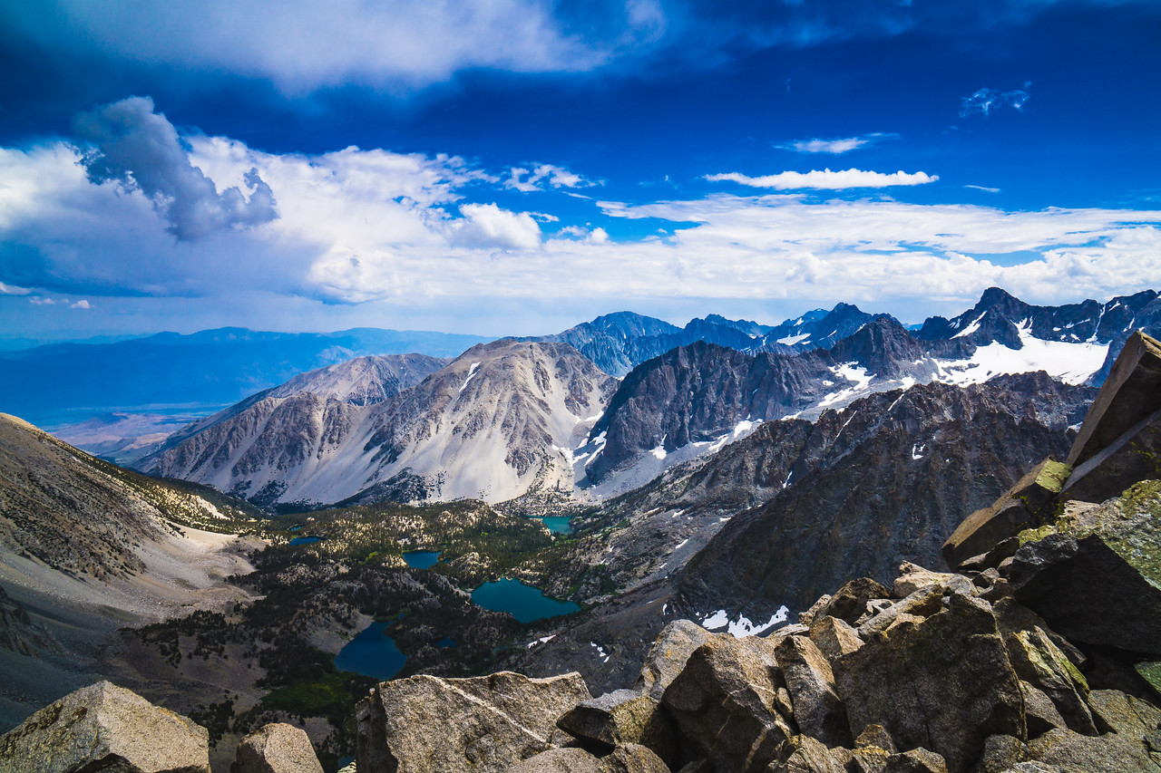
During that trip, while on the top of Cloudripper I saw one of the most beautiful views I had ever seen. While sitting there catching my breath I was staring down at a series of beautiful lakes that had the most stunning color I had ever seen. And to top the view off, there was a gigantic glacier sitting at the base of Mount Sill. I did not know it then but this was the Palisades Glacier the most southern Glacier in the Northern Hemisphere.
Ever since this hike, I have been obsessed with Mt Sill and the Palisades Glacier and wanted to go back. Tonight I have been planning this trip to hopefully complete in the near future. I have found Explore More Nature Blog to be a fantastic resource for information on this backpacking trip. Permits for this trailhead can be found here.
After reading his blog post, I have mapped out this route on Caltopo:

Here is the Terrain Profile for the hike, taken from the Caltopo map linked above:

If anyone has any other insights please let me know.
Comments